Revenue & Irrigation
Land Encroachment
Which plots sit on a tank bed — answered in acres and guntas, as an inspection list rather than a verdict.
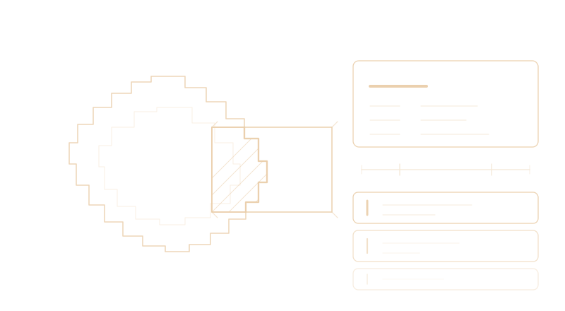
Lakes and irrigation tanks across Chittoor are being progressively built over, and no department can physically inspect thousands of water bodies, so kabza is usually discovered years late with the construction already finished. This takes a plot boundary, measures its overlap with the recorded extent of the tank, and ranks what to inspect first.
Key Capabilities
How It Works
Plot Received
Drawn on the map, or taken from cadastral data
Tank Matched
Against the Irrigation Department’s own surveyed register
Overlap Measured
Geodesic area, converted into acres, guntas and square yards
Ranked
By the area taken, and by what the ground became
Inspected
An officer visits and records the finding — the system never does
Who It's For
Impact & Value
- Thousands of water bodies triaged, instead of inspected blind or not at all
- A Collector can be walked through their own mandal tank by tank on day one
- Surveyed boundaries and satellite inference are never mixed into one figure
- “Not yet examined” is never presented as “not encroached”
- Every figure on a report can be reproduced from what is printed on it
Method & Provenance
- Every area geodesic — degrees are never quietly treated as metres
- Every water-area figure carries the extent and the scale it was measured over
- Provenance stored per assessment: basemap version, imagery date, and the source of the tank extent
- A permanent reference number on every assessment, unique across all years
- Core pipeline on open data — Sentinel-2, Landsat, JRC Global Surface Water and Bhuvan carry no licence tier
The output is a prioritised inspection list, not a legal finding. The smallest change worth trusting is about five gunta, so a one-gunta encroachment sits below the floor and no amount of thresholding changes that. Land built over before 1984 never appears as water in the satellite archive, and so is never flagged. And because Chittoor is semi-arid and its tanks are seasonal, a regional drought can make a merely empty tank read as an encroached one. Language throughout is “flagged for inspection”, never “encroachment confirmed”.
Deployment Models
Ready to rank the inspection list?
Tell us which mandals you are responsible for, and how tank encroachment reaches you today. We can show you your own tanks, by name, from the department’s own register.